Andean Region
“`html
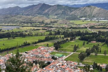
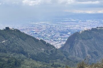
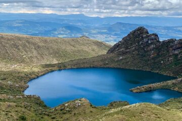
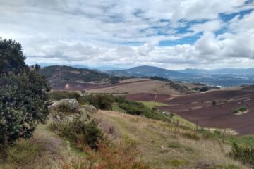
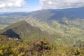
The Andean region owes its name to the Andes mountain range, which is divided into the Pasto knots and the Colombian Massif in three mountain ranges called Western, Central, and Eastern.
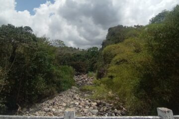
The Central mountain range is separated from the Western one by an average distance of 400 meters by a geological fault occupied by the Patía River to the south and the Cauca River to the north.
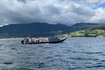
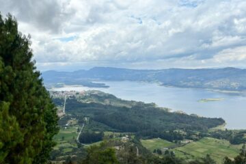
The Eastern mountain range gradually separates to the east, creating the basin of Colombia’s most important river, the Magdalena. This mountain range extends to the northwest and reaches its highest altitude at 5000 meters, forming the Sierra Nevada del Cocuy. A branch, called the Perijá mountain range, detaches from this towards the north gradually losing altitude and reaches the Caribbean Sea at Punta Gallinas, in the Guajira Peninsula, the northernmost point of Colombia. In the Perijá, it approaches the Sierra Nevada de Santa Marta, forming a valley crossed by the Cesar River. The Sierra Nevada de Santa Marta is the highest mountainous structure in Colombia.
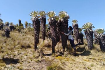
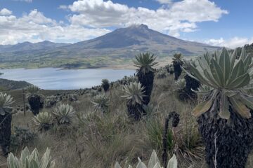
The three mountain ranges have peaks mainly of volcanic formation of more than 4000 meters above sea level. The Central and Eastern ranges have peaks of more than 5000 meters above sea level covered with permanent snow. To the northwest of the Western mountain range appears a mountain system called the Baudó mountain range, which continues through the Darién turning west towards Panama.
“`